WCCOS
WCCOS (World Calibration Centre for Ozone Sondes)
The global ozonesonde network provides the longest time series of the vertical ozone distribution between the surface and 30-35 km altitude. Ozonesonde profiles provide the only global data source with sufficient resolution to resolve atmospheric vertical structure, particularly the steep gradient near the tropopause. Ozonesondes also constitute a stable reference for cross-calibrating ozone measuring satellites over decades.
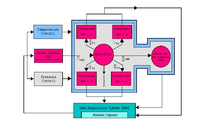
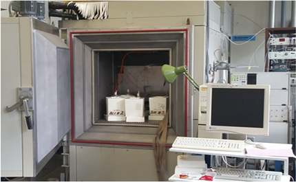
In order to assess the performance of various electrochemical ozonesondes and to guarantee consistency in ozonesonde data an environmental simulation facility at the Forschungszentrum Juelich has been established as the World Calibration Centre for Ozone Sondes (WCCOS) of WMO-GAW as part of their Quality Assurance (QA) plan. Beginning in 1996, a series of JOSIE (Juelich Ozone Sonde Intercomparison Experiment) campaigns has since been conducted at the WCCOS to evaluate different ozonesonde types [Smit et al., J. Geophys. Res., 2007].
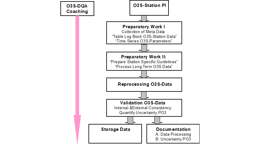
On-going scientific evaluation activities such as ASOPOS (Assessment of Standard Operating Procedures for Ozone Sondes) and O3S-DQA (Ozone Sonde Data Quality Assessments) have been carried out to ensure and improve the performance of the ozonesondes and their long term data quality.